With support from Innovate UK, D2 was awarded a contract to investigate how it could provide Digital Innovation to the Canadian Rail system. We chose to develop a system that could improve possession planning and visualisation tools.
For several years, D2 has been researching and developing a digital solution to possession management and geographical rail visualisation within the UK. Determined to make access planning easier, quicker, and more efficient, D2 started development of an online resource that enables real time upload, management, and visualisation of possession data.
By pulling in geographical route information, real time data, possession information, and building routing algorithms, D2 found the system could accurately represent planned rail works in a geographical format and in a standardised data format that could be easily understood. This opened the doors for fast data analysis that would previously be a time consuming, manual effort. Further research and development resulted in the ability to quickly detect clashes in work between projects, diversionary route analysis, train scheduling impact reporting, change tracking and more.
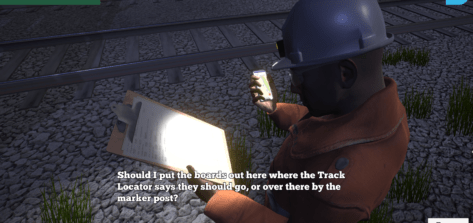
For this project, D2 aimed investigate how a similar, digital planning and operations tool could be developed in Canada to provide a safer, more efficient way to gain visibility of works with improved access planning and analysis. The focus was to investigate what geographical rail data is available and how it can be used in conjunction with maintenance planning data.
The solution provides planning tools, artificial intelligence, analytics and better visibility, efficiency and safety to planners, operators, the public and all other involved parties.
The project was spearheaded by Innovate UK, which provides money and support to organisations to make new products and services. The project was also backed by the Department for International Trade, who provided local experts and support.
Our work was also sponsored by Systra, who acted as a local expert knowledgebase and resource that was invaluable when understanding Canada’s Rail processes and structure.
The first goal focused on the data we needed to extract to be able to import Canadian possession information, visualise it, and accurately represent the rail network. Our data scientists and software developers investigated existing, open-source data sources and also liaised with industry experts to gain an understanding of data relations and formats. This understanding of the data would drive our development of the solution.
Following the data analysis, our software developers went to task and created a full data mapping between the data sources identified, and our own data structure requirements. This allowed us to create automated tools that allow for the transformation of the data from multiple sources into our own, unified system.
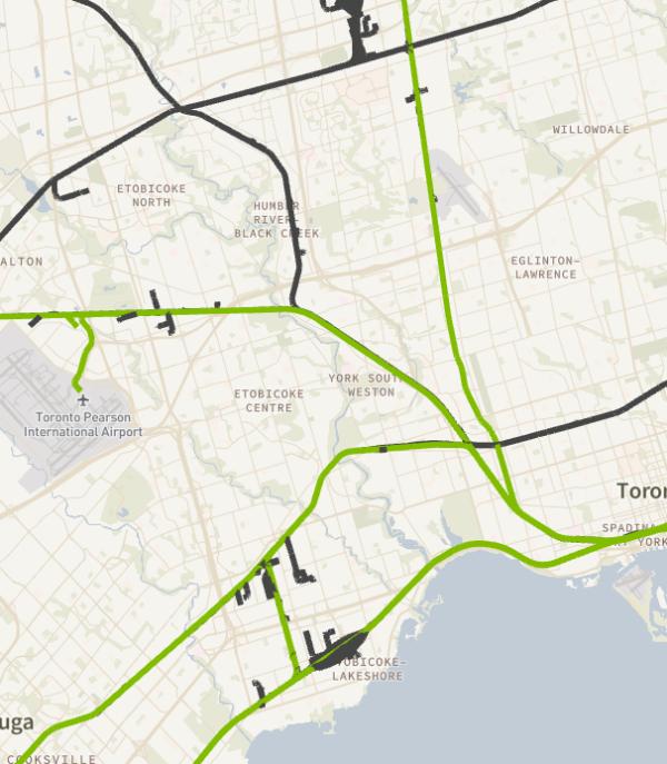
We now had a consistent set of geographical data to work with including, rail line data, mile markers, and stations. We also applied our standard possession data format which would allow us to link possession information to the geographical data we had processed.
We now had all the data we needed and in the right format. This allowed our software developers to adapt our existing code base for use with the new data and regions.
New tile sets were created for the map views that incorporated the Canadian rail data obtained and formatted in previous steps. Path and route-finding algorithms were defined and loaded with the new location and timing data to provide real time network visualisation when dealing with possession data.
We also set to work expanding our analysis features, building a diversionary route analysis system. This system allows user defined rule definitions for what routes can be blocked together. The system then automatically looks at all possession data in the system and finds any instances where these rules are broken.
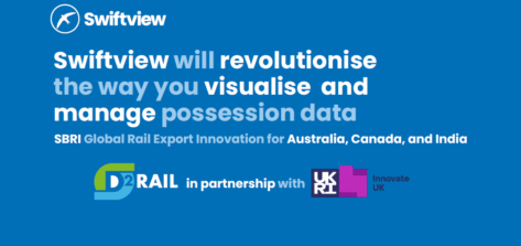
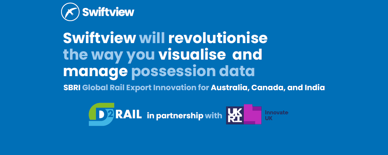
The product of our deliverables, Swiftview is a possession planning tool that allows for automated possession import, geographical visualisation, data management, and analysis. The system is an online tool accessed through a secure website. Data query and edit is done through a secured API, with all data stored in relational databases.
Users work in Teams to build and manage projects, with data access controlled through user roles, permissions, and delegation. Swiftview brings all of the data you need into one place for better visibility of projects, timescales, and impact.
Swiftview helps possession planners and other users to quickly determine where and when a possession is planned, providing faster and clearer visibility of the required possession information; helping users to identify possession opportunities.
Swiftview helps to minimise health and safety risks by clearly identifying clashes and errors that may exist within the possession system.
Swiftview saves users time previously spent on interpreting Possession data, by creating an immediate and clear visual output – letting you work faster and smarter.
The system utilises common data types and transformers to allow data import from multiple sources and formats. This allows all data to be centralised and queried as one, opening new insights and analysis.